Stream and River Flow Measurement
Maintaining oversight of stream and river flows is important in many applications ranging from water use management in drought-prone or irrigation-intensive areas to early warning in waterways subject to flooding. Real-time monitoring systems continuously measure flow by recording the water level and mean or index velocity of water flowing through channels of known cross-sectional area.
Stream and River Flow
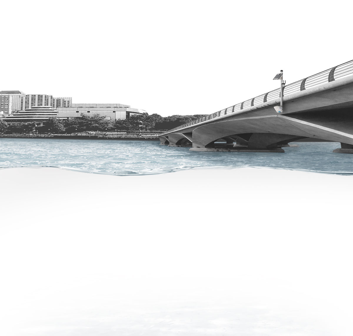
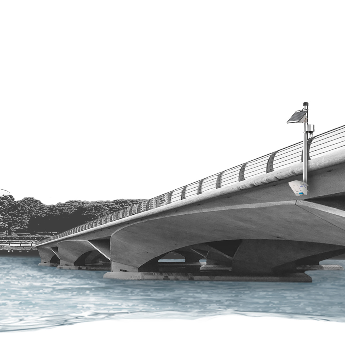
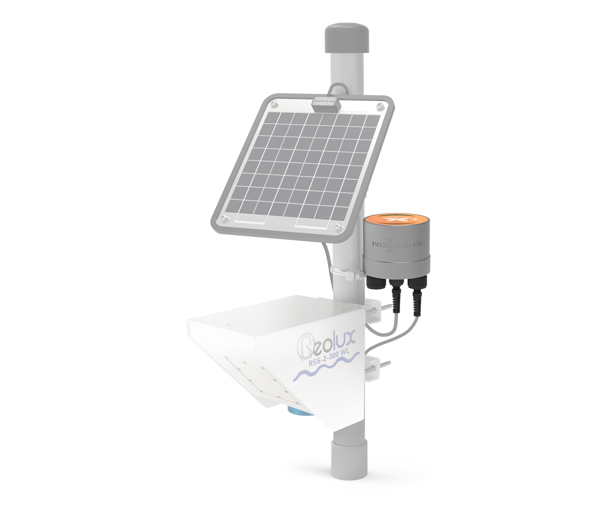
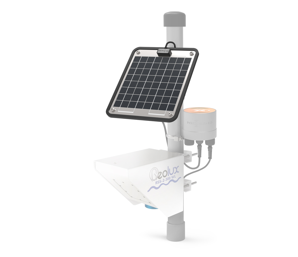
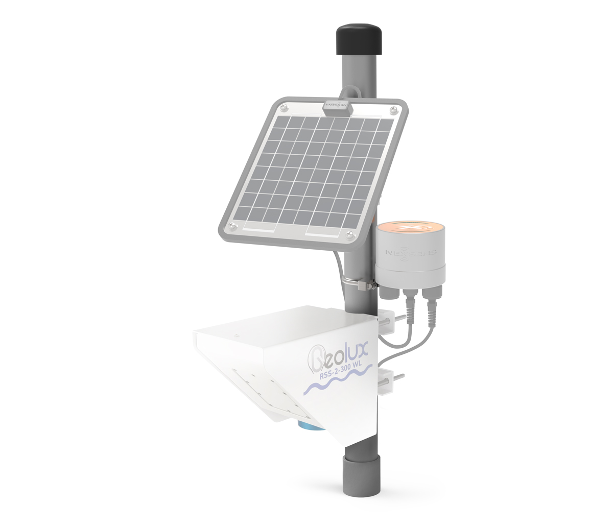
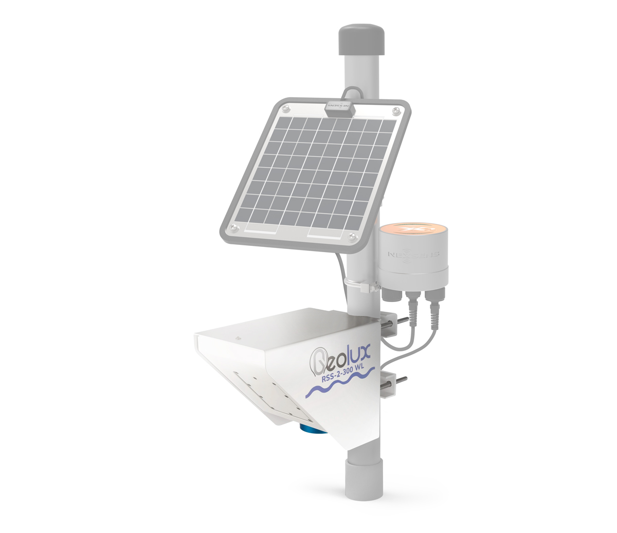
Typical Stream/River Flow System
The process of establishing a stream or river flow monitoring station normally begins by selecting a suitable site and determining the cross-sectional area of the waterway. This can be done by manual survey but more frequently is performed using an ADCP instrument which can survey both the geometry and velocity profile throughout the channel.
A typical continuous monitoring system takes the information gained from the site survey and combines it with water level and velocity measurements. An instrument such as the Geolux non-contact flow sensor has integrated radar surface velocity and level sensors for accurate measurement with minimal maintenance requirements. Flow outputs directly from the instrument based on user-supplied inputs of cross-sectional geometry and stream/riverbed composition. Since the sensor measures only surface velocity, and the actual velocity varies throughout the stream or river profile due to friction, corrective factors can be applied using established standards (e.g. from USGS) or based on actual measurement data recorded during the site survey.
For real-time data acquisition, the flow sensor is connected to an X2 environmental data logger equipped with radio, cellular or satellite communications. Data transmits to the WQData LIVE web datacenter, which provides remote logger controls as well as a suite of data management and reporting tools. Available features include various data export options, API, alarm notifications and public portal option.
With multiple sensor ports using robust, waterproof connectors, the X2 logger is specifically designed for use in harsh environments. Systems are easily expanded with a range of other sensor types, including rain gauges, multiparameter weather stations, side-looking current profilers, water quality sensors and multiparameter water quality sondes.
Contact a NexSens Applications Engineer today to discuss your stream or river flow monitoring application.
Case Studies
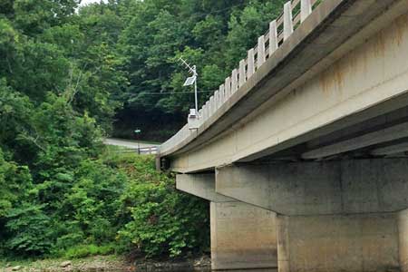

Tracking Flow For Hydropower
The Northern Indiana Public Service Company (NIPSCO) is a large energy provider in the state of Indiana servicing more than a million customers. Maintaining network reliability depends in part on monitoring flow rates near its hydropower assets. To achieve this, several flow monitoring stations have been installed from bridges on the Tippecanoe River and Wabash River.
Read More
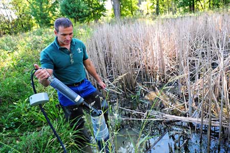
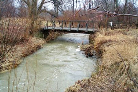
Wetland and Urban Stream Flow Monitoring
Heavy urban development has caused excess stormwater runoff in the Cleveland area. Resulting flash floods in the city’s metroparks can damage aquatic habitat, erode river banks, and carry sediment into Lake Erie. In response, Cleveland Metroparks staff have deployed a monitoring network to study flow and spread of pollution through park streams and wetlands.
Read More
Water Quality and Flow Monitoring
The University of Akron Field Station, located on the Bath Nature Preserve in northeast Ohio, promotes a better understanding of our relationship with the natural environment through research, education, and service. Students, faculty, and Bath community members have been working to gather long-term data, including monitoring with four real-time stream flow sites.
Read More